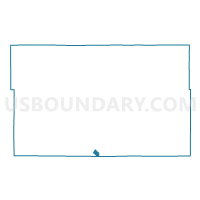
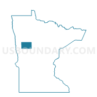
Frazee Voting District, Becker County, Minnesota
About
Outline

Summary
| Unique Area Identifier | 601078 |
| Name | Frazee Voting District |
| County | Becker County |
| State | Minnesota |
| Area (square miles) | 1.11 |
| Land Area (square miles) | 1.06 |
| Water Area (square miles) | 0.05 |
| % of Land Area | 95.49 |
| % of Water Area | 4.51 |
| Latitude of the Internal Point | 46.72894510 |
| Longtitude of the Internal Point | -95.70398490 |
Maps

Graphs
Select a template below for downloading or customizing gragh for Frazee Voting District, Becker County, Minnesota